
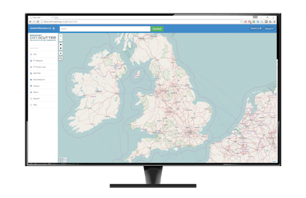
Giving You Access To The Data You Need
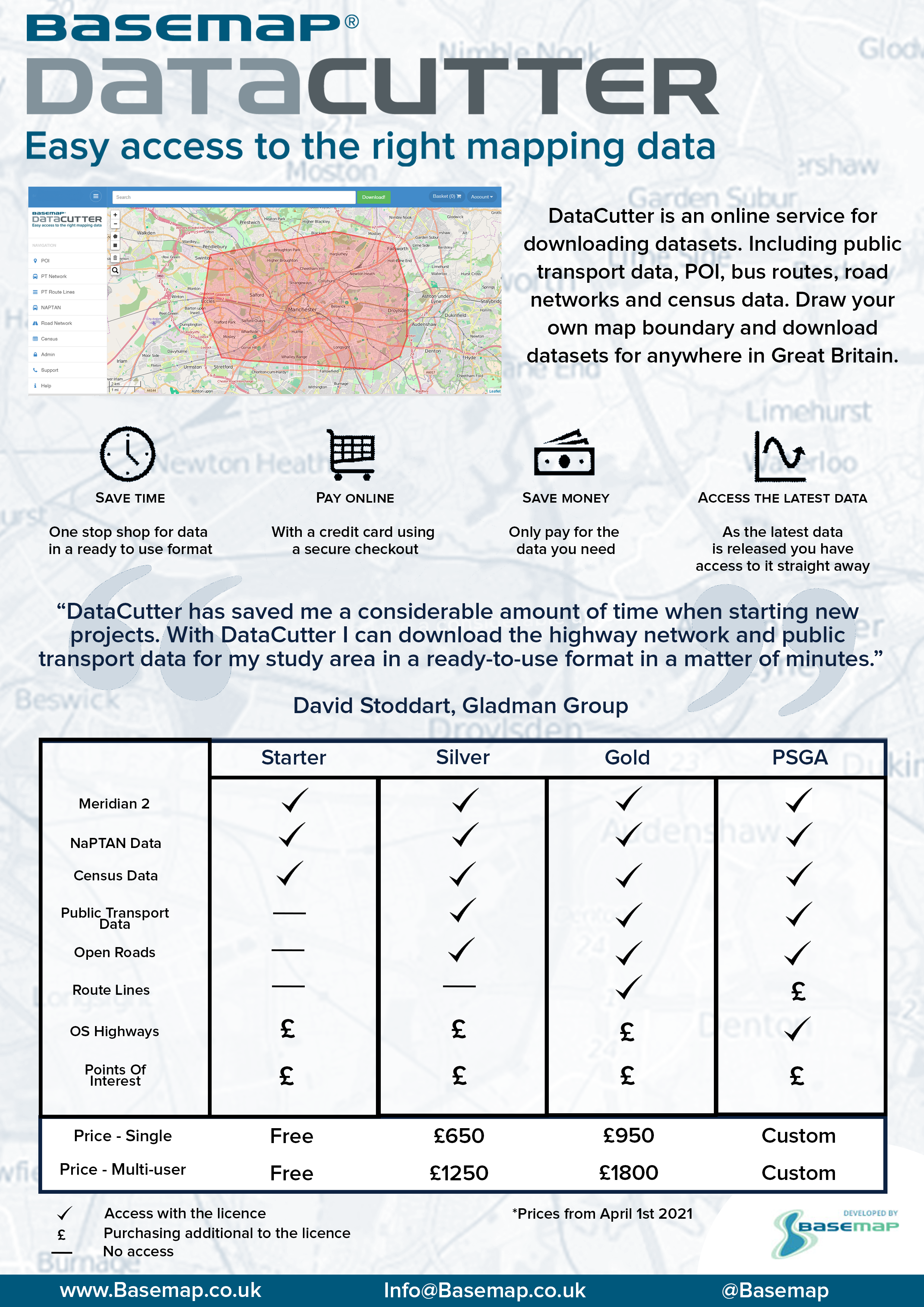
Including public transport data, POI, bus routes, road networks and census data. Draw your own map boundary and download datasets for anywhere in Great Britain.

Point of Interest Data
Identify places by their use and function as well as postal address or location.

Public Transport Data
- National Public Transport Access Nodes (NaPTAN) stop locations
- Timetable & bus route lines

Road Network & Census
Utilise OS MasterMap® Highways Network, Meridian 2 & Open Roads.
How Does DataCutter work?
Why DataCutter?
Draw your own map boundary
Or use an existing one within DataCutter
Save time
One stop shop for data in a ready to use format
Pay online
With a credit card using a secure checkout
Save money
Only pay for the data you need
Access the latest data
As the latest data is released you have access to it straight away
Accurate
Using the most detailed datasets available from Ordnance Survey
Cloud based solution
Access anytime anywhere
- Purchase OSHighways Rrami and Paths Data
- Purchase POI
- Access Census data
- Access Meridian 2 data
- Access Naptan Data

- Purchase OSHighways Rrami and Paths Data
- Purchase POI
- Access Census data
- Access Meridian 2 data
- Access Naptan Data
- Access to public transport data
- OpenRoads

- Purchase OSHighways Rrami and Paths Data
- Purchase POI
- Access Census data
- Access Meridian 2 data
- Access Naptan Data
- Access to public transport data
- OpenRoads
- Route Lines data

Fee On Request
- PSGA OSHighways Rrami and Paths data
- Purchase POI
- Access Census data
- Access Meridian 2 data
- Access Naptan Data
- Access to public transport data
- OpenRoads
- Purchase Route Lines data
- Free OSHighways Rrami and Paths


What Kind of Data?
Public Transport Data
Contains all transport modes from Basemaps latest NPTDR builds. Simply define the area you desire, and choose the build release, modes and format you want (Cif or TransXchange). For any service which has one or more stops within the select area, all variants of that service are downloaded.
For the increasing TRACC user base, this will also mean that you have just the data at your fingertips you need for your projects reducing database sizes and speeding up calculations.
UK Census data (output area level)
Data is provided at Output Area (OA) level. Simply choose an area and the census variables you want then a Shape file and CSV file are created. All relevant Quick Statistics and Key Statistics variables are available.
Bus Route Lines
Based upon the Meridian 2 road network, these are road centreline shortest path bus route lines between stop sequences. Data includes the inbound and outbound variants and also frequency data to allow users to visualise this valuable information in a GIS.
DataCutter has saved me a considerable amount of time when starting new projects. With DataCutter I can download the highway network and public transport data for my study area in a ready-to-use format in a matter of minutes.

David Stoddart
Senior Transport Planner, Gladman Group
